


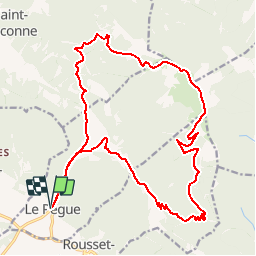

14 km | 26 km-effort

Usuario


Aplicación GPS de excursión GRATIS
 SityTrail
IGN / Institutos geográficos
SityTrail World
El mundo es suyo
Ruta Bici de montaña de 23 km a descubrir en Auvergne-Rhône-Alpes, Drôme, Le Pègue. Esta ruta ha sido propuesta por tracegps.
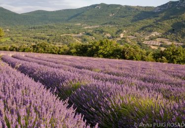
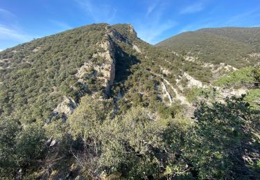
C’est parti pour 13 Km ascension non stop, pente assez régulière sur une piste qui serpente sur la face sud de la Lance. Au fil des kilomètres avec la montée en altitude la vue sur la plaine de Valréas devient de plus en plus vaste. Le sommet est proche et ceux qui aiment les défis seront servis, essayez de sortir la dernière rampe sur le vélo, ce n’est pas gagné !!! Mais rassurez vous, même si vous finissez à pied la récompense est là !!! Un panorama grandiose et une descente inoubliable. Bonne rando à tous !! Auberge de Trente Pas 04.75.27.71.39 ou 0033.4.75.27.71.39 Alain et Véronique Legendre 26110 St Ferréol Trente Pas


Senderismo
Senderismo
Senderismo
Senderismo
Senderismo
Senderismo
Senderismo

Senderismo

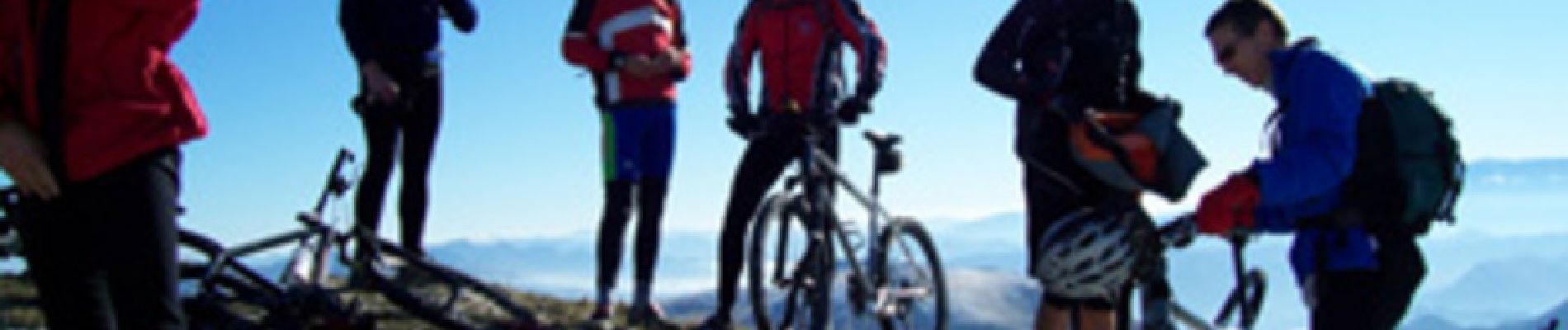
Bici de montaña